


Global warming and climate change have fundamentally affected how we live our lives today. As the world slowly heats up, extreme weather and the forces of nature have brought about destructive natural disasters and a lack of potable water.
Geospatial researcher Sanyasi Naidu Dadi leads the front with his work in underground water resource management and natural disaster management, using technology and expertise to create forward-thinking solutions. His familiarity with tools such as GPS, GIS, and satellite remote sensing has led to timely answers to combat the rising severity of natural disasters, and his HAIS software has opened up new avenues to how we can access clean, drinking water.
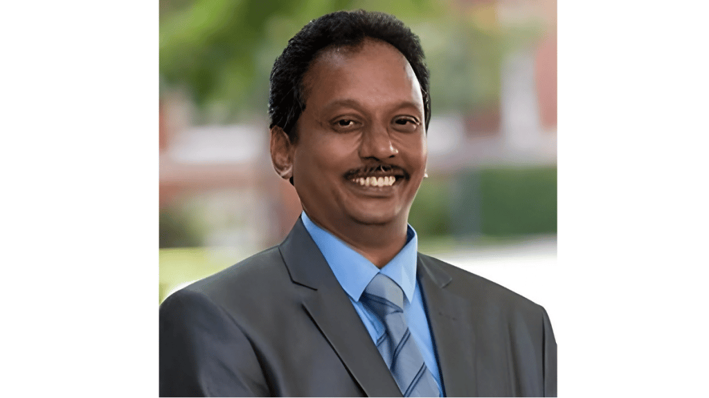
Dr. Dadi’s Achievements and Beginnings
Sanyasi Dadi is an accomplished individual and has several degrees to his name, including a Master of Science in Computer Science from North America University in Virginia, USA, an MCA or Master of Applications from the University of India, and a doctorate in Geo-Engineering from Andhra University.
He began as a software developer, creating new tools for users then moved on to become a full-stack developer. Using his multiple programming language expertise, Dr. Dadi rose up the ranks and implemented complex technology solutions for a number of prestigious companies.
His interest in underground water resource management stemmed from his childhood. As a son of a food inspector, he saw firsthand how contamination has had a major impact on the environment and human health, particularly how contaminated water can bring about sickness and deterioration. This led to the creation of HAIS, or Hydrospatial Analysis Information System.
At Andhra University, he also started researching geospatial technology and how it can prevent natural disasters from having a huge toll on human lives and properties.
Hydrospatial Analysis Information System Leads the Charge
Dr. Dadi tapped into GIS technology, or geographic information systems to create software for the assessment and analysis of groundwater in hopes of solving low groundwater levels.
Climate change, over-extraction, and declining rainfall are all factors that lead to insufficient groundwater. His primary goal is to identify possible groundwater resources and contamination factors, which can help community leaders develop strategies to extract clean water while reducing contamination risk as much as possible. Dr. Dadi’s mission is to continue research in low groundwater-level regions and come up with viable solutions to meet the needs of the population in agriculture and drinking.
Dr. Dadi’s timely push earned him an award as NESA Environmentalist of the Year in 2021. Access to drinking water and clean water for agriculture, washing, and other day-to-day functions is important not just for a community’s health, but also their survivability and growth as a whole.
Access to potable water remains an issue, especially in regions where there are few natural resources. Drinking contaminated water, whether from human practices or natural occurrences, can quickly bring a community to its knees. Sanyasi Dadi’s knowledge in relevant fields and his IT expertise can finally make this basic human right a reality.
Geo-Engineering and IT to Monitor and Manage Natural Disasters
It’s not uncommon to see natural disasters and their effects make global headlines. It seems that with each occurrence they’re getting worse, and their effects are becoming more and more pronounced.
The world has the technology to view and detect possible disasters before they even take place, thanks to geospatial technology and geographic information systems. There is a need to develop detailed maps to determine possible weaknesses in a particular region or location to determine the best solution. Future-proofing against natural disasters is the end goal, but the first step is to understand the lay of the land for possible solutions.
Natural disaster management remains a sought-after field, as it can help save lives and reduce property and land damage to an extent. Dr. Dadi seeks to improve this aspect with the help of technology, specifically GIS, GPS, and satellite remote sensing.
Sanyasi Dadi’s research into geospatial technology goes beyond the scope of disaster management. He hopes to highlight geospatial technology as a means to develop mitigation measures and disaster preparedness. He has studied cases where these technologies examine the use of software to manage coastal erosions, cyclones, and even industrial disasters.
Both HAIS and GIS can help resolve groundwater resource issues and map regions where natural disasters might occur. There’s a lot more work and research to be done, but Dr. Dadi is already pushing the boundaries and making the world a safer and better place.
https://scholar.google.com/citations?user=AvXg25kAAAAJ&hl=en&authuser=1